KJV Bible pictures

On Sebastian LaVine's Blog
Published on

Here are some pictures of a little King James Bible I got at a thrift store a few years ago for a dollar.

A picture of me holding the Bible in my hand. It is about the height of a smartphone, and maybe a bit wider. It is a beat-up, dirty black leather. At the top of the book, in muted, cursive gold text, it reads, "Holy Bible Illustrated". The Bible is open to its first page. On the left page is a color illustration of "Abraham's Oak". The colors are bright, almost like watercolors. There are figures gathered around the bottom of the tree. On the right page is an old-looking copyright page that reads in all-caps, "The Holy Bible, Containing The Old & New Testaments, Translated Out Of The Original Tongues And With The Former Translations Diligently Compared And Revised By His Majesty's Special Command, (in italics)Appointed To Be Read In Churches". The logo for Oxford University is printed. Then, the text continues, "Oxford, At The University Press; London: Humphrey Milford, Amen House, E.C.4, New York And Toronto". The Bible is open to pages 31 and 32. You can see that the pages have a red outline on their edges. On the left page is Genesis 31, in two columns. The text is very small. On the right page is an illustration titled "Women Drawing Water At A Well". It is in the same style as the previous illustration. It depicts three women it loose white robes, smiling and carrying water. There are plants around them. In the background appears to be a small pond, and a desert hill. The Bible is open to pages further into the book. On the left page is II. Chronicles 29, in the same style as the previous photo. On the right page is an illustration titled "Jaffa; Or, "Fish Gate"". It is in the same style as before. In the foreground is a big sandstone castle with a white flag above it. There is an open gate, and people are walking in and out, and gathering around. There are two dilapidated market stands against the walls of the castle. A man travels by on a camel. The illustration is detailed enough to make out that these are people, and to see generally what they are doing, but not enough to make out any more personal details. The sky is blue. The Bible is open to the last page. Unlike the previous pages, it is open horizontally. It shows a colored map of modern-day Egypt, Israel, and surrounding regions, centered on the Sinai Peninsula. The title of the map reads "The Peninsula Of Sinai and adjacent lands, to illustrate the Migration of the Israelites from EGYPT to CANAAN". The picture is slightly blurry, making it hard to read all of the text detailing various cities and points of interest on the map. The map appears to list both where modern-day cities are located, as well as where different groups of people are thought to have lived at some point; for example, the Nile Delta is labeled with "Land of Ham". The Mediterranean Sea is labeled as "The Great Sea". There are latitude lines labeled from 28 to 32, and longitude lines from 29 to 37.

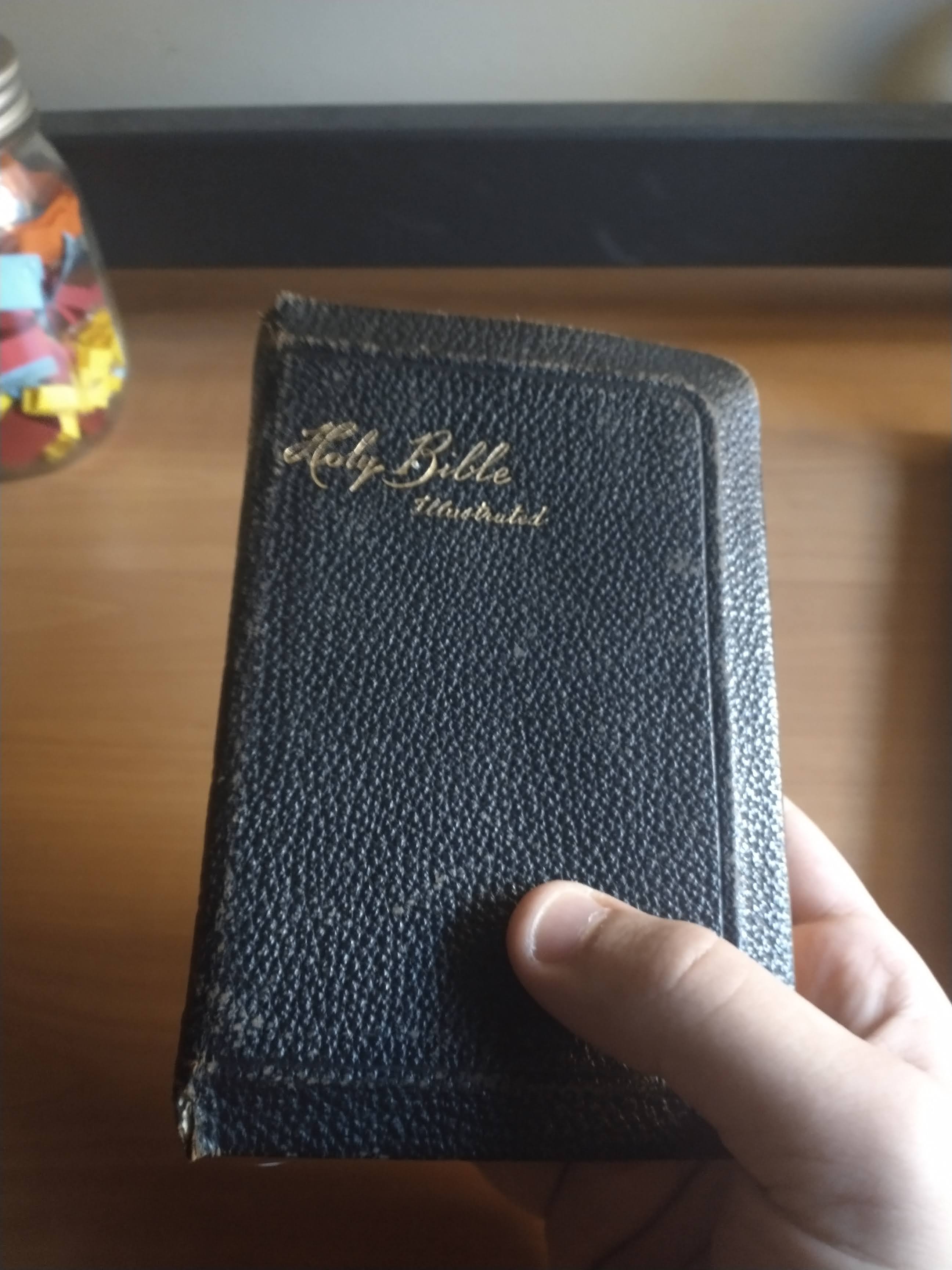
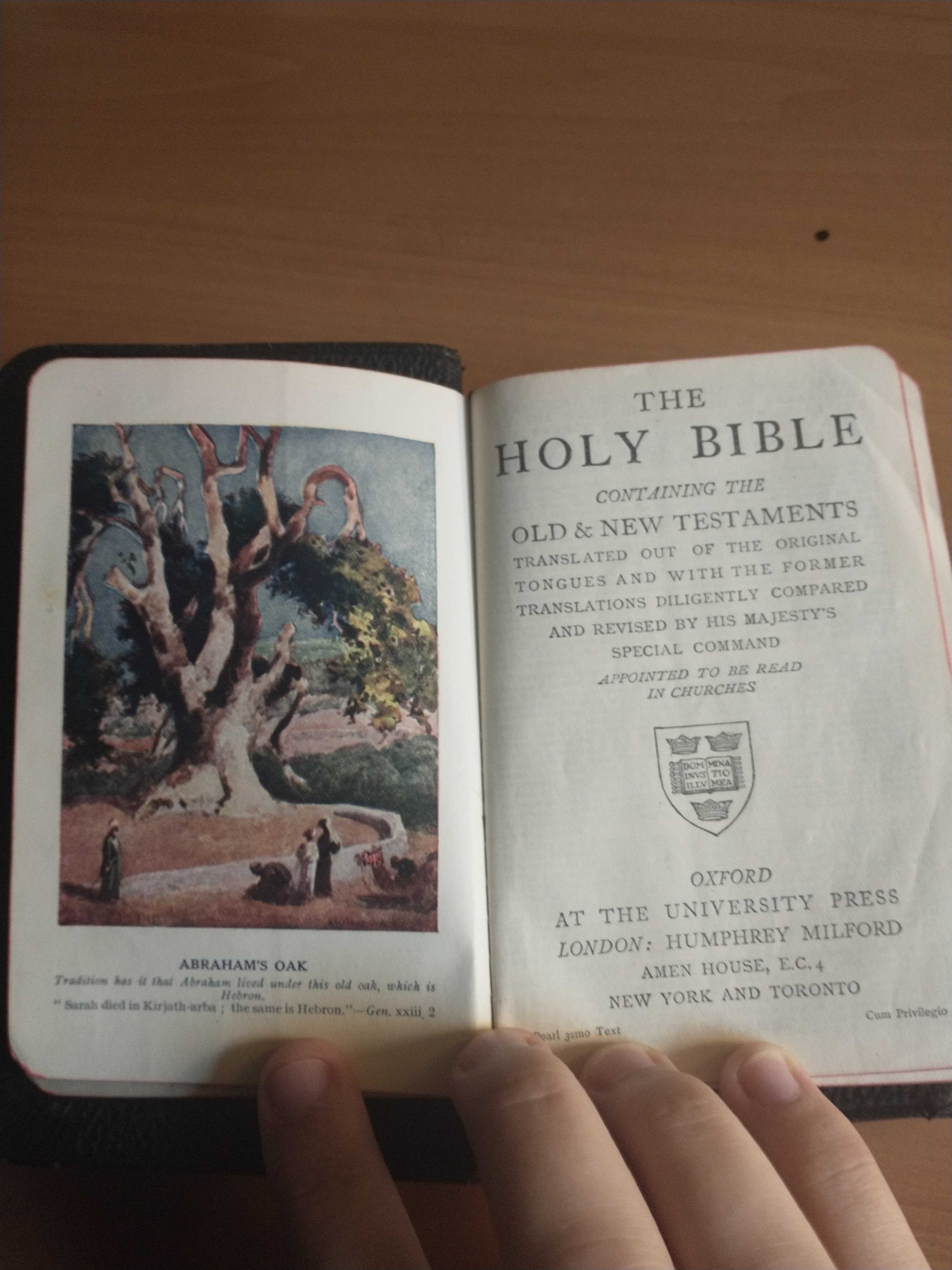
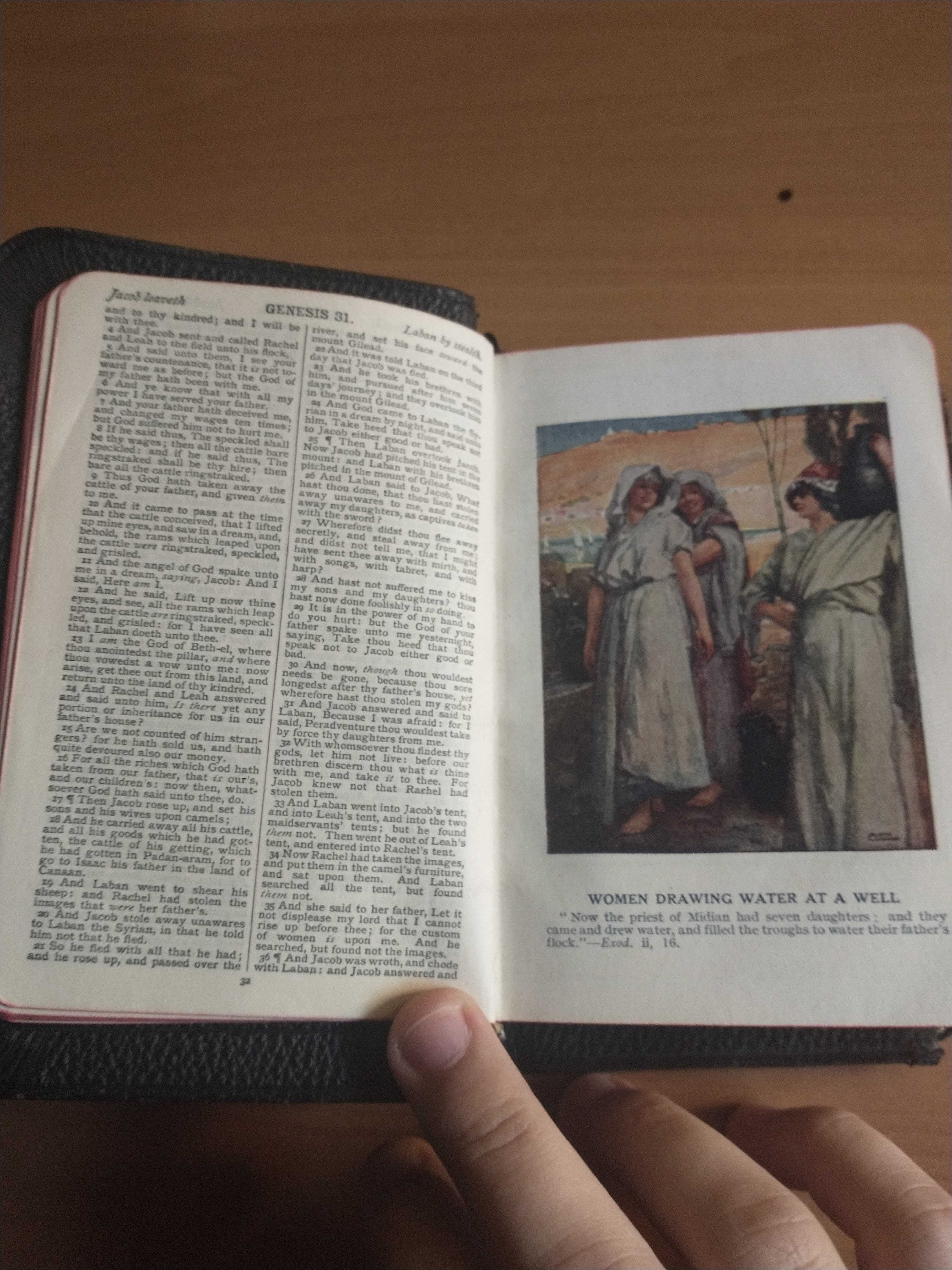
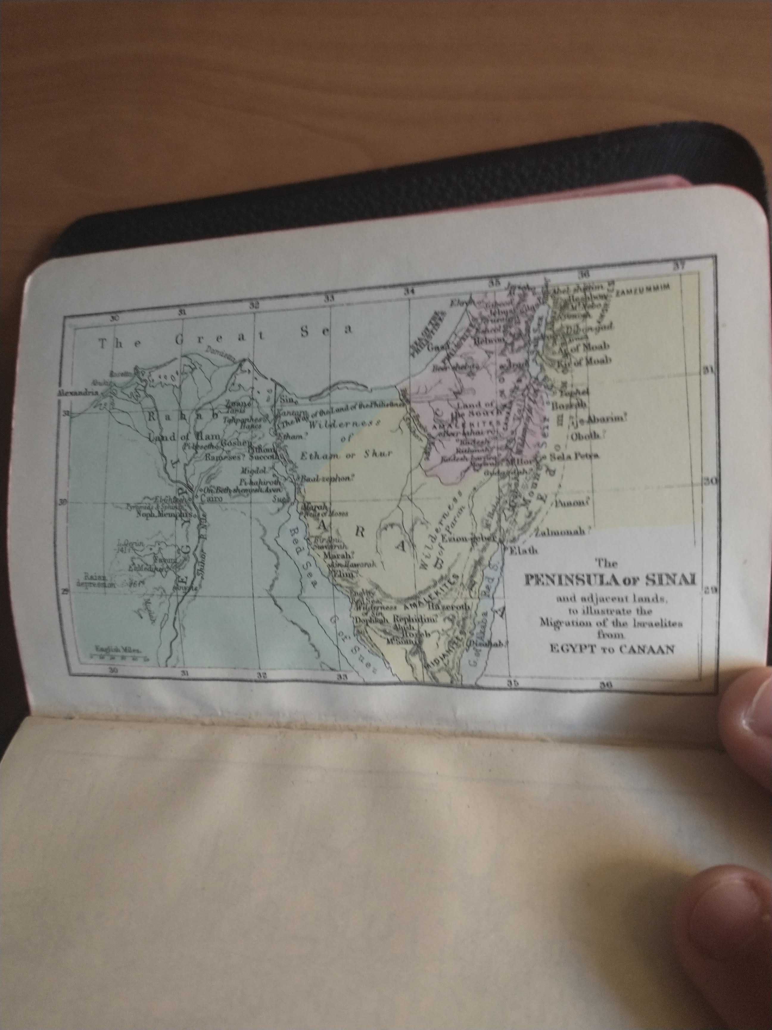
I'm not religious. I've only read up through Genesis. In the front, there's the name of the address of a girl who got it for her birthday in the 1930's. I looked on Google Maps, but the house has been demolished.

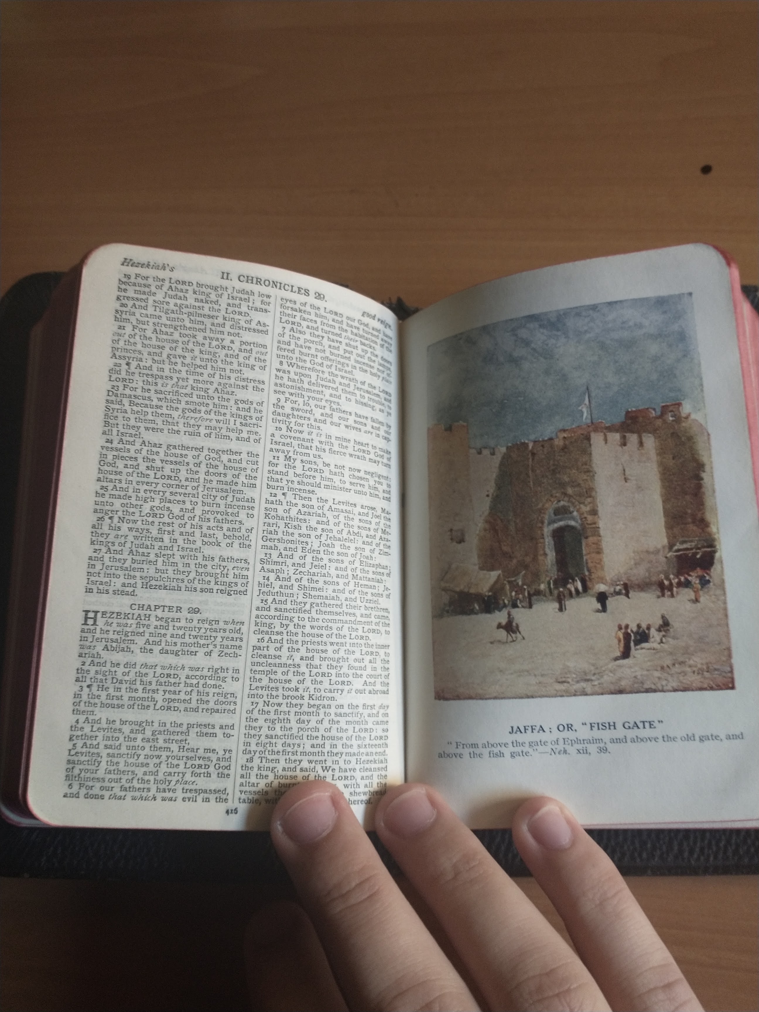
I like that the illustrations are so vibrant. Others would know more about this than me, but I think I prefer the text of the KJV as opposed to more modern translations. It just feels more... Bible-y, you know?